
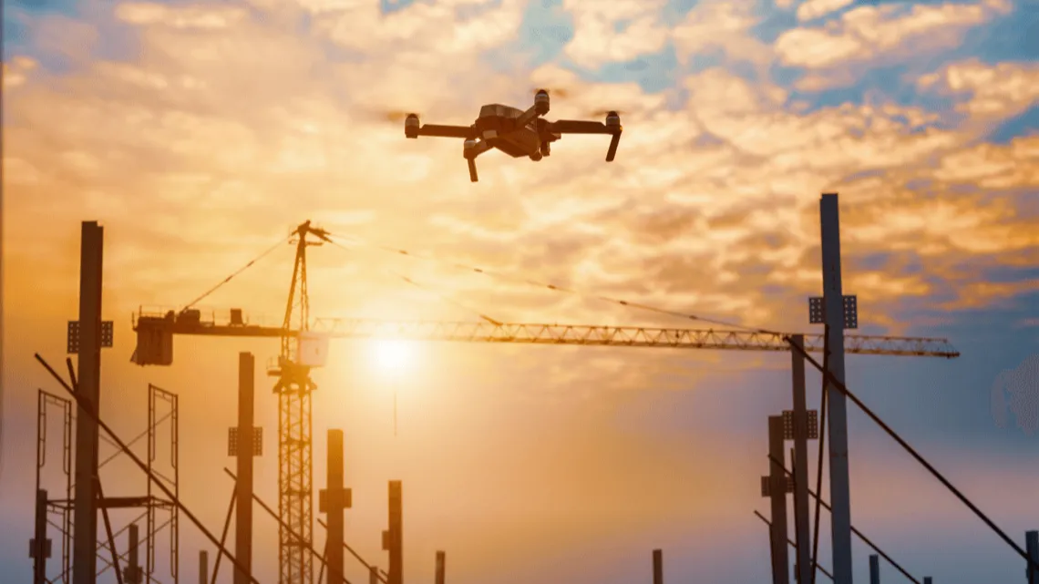
As drones become a standard tool on construction sites, ensuring their safe and legal operation is more important than ever. Drones offer significant advantages for surveying, quality control, logistics and site monitoring, but they must be used responsibly, especially in urban or restricted airspace. That’s where geofencing technology plays a critical role. Sonoran Desert Institute (SDI), accredited by the Distance Education Accrediting Commission (DEAC), highlights the importance of integrating safety protocols and regulatory compliance into drone operations, with geofencing at the heart of this effort.
Geofencing systems define virtual airspace boundaries through GPS and software, ensuring drones stay within authorized zones, reducing airspace conflicts, and aligning operations with local and federal regulations. The curriculum prepares students to harness these technologies effectively, ensuring they are well-equipped to meet the developing needs of modern construction projects.
What Is Geofencing?
Geofencing is a software-based safety feature that establishes virtual perimeters around designated geographic areas using GPS, Radio Frequency Identification (RFID) or Wi-Fi signals. When applied to drones, geofencing limits flight operations to predefined airspace and prevents drones from entering restricted or hazardous zones. These “invisible walls” can be programmed based on:
- FAA regulations (e.g., near airports, government buildings)
- Client or site-specific restrictions
- Safety zones around active crane areas, pedestrian walkways or hazardous materials
- Altitude limits to avoid conflicts with other aerial vehicles
Geofencing capabilities are either pre-installed by drone manufacturers or integrated into flight planning software used by drone operators and construction managers.
Enhancing Construction Site Safety
Construction sites have dynamic and sometimes chaotic environments. Drones flying in the wrong area can pose a threat to personnel, interfere with heavy machinery or damage sensitive equipment.
Geofencing addresses these concerns by:
- Keeping drones away from no-fly zones such as crane booms or live electrical areas
- Enforcing safe takeoff and landing zones that are free of foot traffic or debris
- Limiting drone altitude to prevent collisions with other aerial tools or nearby structures
- Automatically rerouting or grounding drones if they breach programmed boundaries
With geofencing in place, project managers can deploy multiple drones without fear of overlap, collision or accidental flight into unsafe areas. The system provides peace of mind and supports a structured aerial workflow that integrates seamlessly with broader site safety protocols.
Supporting Regulatory Compliance
Operating drones on construction sites, especially in urban settings or near airports, comes with a host of regulatory obligations. Violating airspace rules can lead to fines, legal action, or flight bans.
Geofencing helps construction companies remain compliant by:
- Enforcing FAA no-fly zones, including around Class B and D airspace
- Ensuring altitude compliance, typically capped at 400 feet for commercial drone flights
- Keeping drones away from Temporary Flight Restriction (TFR) zones
- Preventing flights in national parks, schools or military zones, depending on local laws
Some drone systems even integrate real-time regulatory data updates into their geofencing systems, adjusting boundaries automatically based on current flight restrictions. This proactive feature ensures drone operators stay compliant without having to manually cross-check airspace rules for every flight. For construction firms working across multiple regions, geofencing simplifies the complexity of managing site-specific regulations by automating restrictions within the flight control interface.
Drone Fleet Management and Job Site Coordination
Geofencing is also a valuable tool for coordinating large-scale projects with multiple drones or diverse job site zones. Project managers can assign specific airspace sections to individual drones based on the tasks they’re performing, such as:
- Surveying and mapping
- Quality control inspections
- Material delivery monitoring
- Perimeter surveillance
By defining flight zones for each drone, geofencing prevents overlap and collision risk while also increasing task efficiency. It ensures that drones remain within areas relevant to their mission, optimizing their battery life and data collection accuracy. When paired with centralized drone fleet management software, geofencing makes it easy to monitor drone activity, receive alerts for breaches, and generate audit logs that demonstrate regulatory adherence.
Custom Geofencing for Construction Applications
Unlike static geofencing set by manufacturers, custom geofencing allows construction teams to define project-specific perimeters. These may include:
- Dynamic zones that develop as the construction site changes
- Time-based zones that restrict flights during high-traffic work periods
- Hazard response zones around new excavation sites or unstable structures
Gunsmiths and engineers working on drone integration for construction sites are now exploring how to combine geofencing with sensor data and AI to create responsive systems that automatically adjust boundaries based on real-time site conditions. It allows for flexible yet safe flight operations in fluid working environments.
The Role of AI and Real-Time Updates
AI is enhancing geofencing capabilities even further by enabling:
- Obstacle detection and avoidance alongside geofence enforcement
- Predictive route planning to avoid potential boundary violations
- Integration with weather alerts that dynamically modify geofence rules
AI-driven geofencing systems can also identify unsafe behaviors, such as rapid altitude changes or erratic flight paths, and initiate automatic course corrections or emergency landings. These innovations increase drone reliability in active construction zones and help protect workers and infrastructure. As drones continue to improve, we expect geofencing systems to become more intelligent, responsive and connected to the overall digital construction ecosystem.
Training and Operational Awareness
While geofencing improves drone safety, operators must still understand its functionality and limitations. Over-reliance without proper training can result in failed missions or system overrides. Drone pilots should be trained in:
- Setting and modifying geofence parameters
- Understanding airspace classifications and legal limits
- Interpreting software alerts and responding to boundary breaches
SDI recognizes the importance of integrating drone safety technologies into professional workflows, including applications in construction and other regulated industries. Through coursework focused on uncrewed aircraft systems, the institute emphasizes key skills such as operational awareness, pre-flight planning, and regulatory compliance. These foundational elements are critical for professionals operating drones in dynamic environments where precision, safety, and adherence to FAA standards are essential.
Building Safer, Smarter Skies
Geofencing is more than just a safety feature because it serves as a foundational technology for the responsible and scalable use of drones in construction. Defining digital boundaries in the sky keeps drone operations on the right side of both safety and the law. When paired with AI, real-time data and smart fleet coordination, geofencing becomes a powerful tool that empowers construction managers to operate more efficiently and confidently. With drone usage rising across industries, integrating tools like geofencing can be key to maintaining order in increasingly complex airspace environments.